
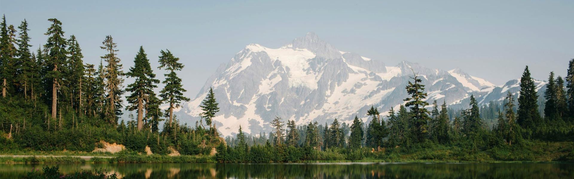
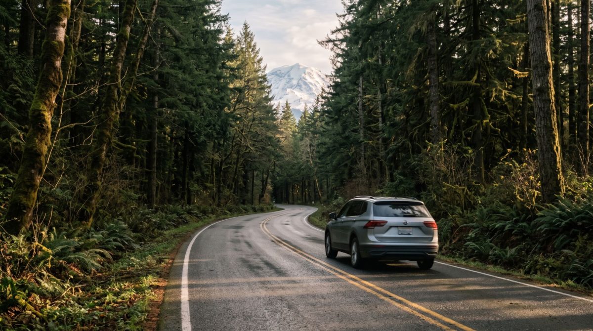
Glacier takes roughly 3 hours to reach from Seattle in good conditions. The ski area is another few miles up the mountain, which can add up to 45 minutes depending on weather, so plan on 3 and a half to 4 hours door to door. The route is simple: north on Interstate 5 to Exit 253 in Bellingham, then east on State Route 542, the Mt. Baker Highway, until the road runs out.
That is the short version. Here is what the drive is actually like, where to stop, and the few things worth knowing before you go:
The route, step by step
Head north out of Seattle on I-5. This part is unremarkable and takes about 2 hours to Bellingham without traffic, longer on a Friday afternoon.
Take Exit 253, signed for Sunset Drive and the Mt. Baker Highway, and turn east. From here you are on State Route 542 for the rest of the trip. The highway runs 57 miles from the interstate to its end, climbing the whole way, and it is designated both a Washington State Scenic Highway and a National Forest Scenic Byway. It earns both.
The road passes through Deming, Kendall, and Maple Falls, following the North Fork Nooksack River east into the Cascade foothills. Past Glacier the highway enters the Mt. Baker-Snoqualmie National Forest and starts climbing in earnest.
Where the road ends depends on the season
This confuses first-time visitors, so it is worth being clear. In winter, the highway is plowed to the ski area. The final stretch to Artist Point is only open in summer, generally from sometime in July until the first serious snow in October. If Artist Point is the reason you are driving up, check that the gate is open before you commit to the trip
Best stops along the way
Bellingham, for everything you need
Treat Bellingham as your last real town. Fill the tank, buy groceries, and grab coffee here. Services thin out considerably past the interstate, and there is no full grocery store waiting for you up the valley.
The Nooksack River valley
The stretch between Deming and Glacier runs alongside the river with pullouts worth using. In autumn the big-leaf maples along this section turn gold and the drive becomes the destination. There are also spots near Glacier where you can watch salmon go up river to spawn.
The Glacier Public Service Center
Just east of Glacier at milepost 34, this is the place to get current trail and forest road conditions before heading further up. If you are hiking, stop here. Staff know what is open, what is snowed in, and what washed out last week.
What to know about the mountain section
The 21 miles above Glacier are a different road from the valley below. It climbs steadily, the curves tighten, and there are long stretches with no shoulder. Here are a few practical notes:
- Cell service disappears above Glacier and does not return until you are back down. Download maps, directions, and anything you want to listen to before you leave town.
- There is no fuel above Glacier. Arrive with enough to get back down.
- In winter you should carry tire chains on this highway, as you can get stuck without them. We cover the winter driving details in our full guide to Mt. Baker road conditions.
- Drive slowly through Glacier itself. It is a small community, and people, dogs, and skiers cross the road without much ceremony.
Coming from Vancouver instead?
If you are driving down from British Columbia, the trip is shorter. Cross at the Sumas border crossing and connect to State Route 542 from the north, which puts you on the Mt. Baker Highway without touching I-5 through Bellingham. Allow extra time for the border, which is the only unpredictable part of that route.
Where the drive ends
Our cabins sit in Glacier, Mt. Baker Rim, Snowline, and Snowater, which means the hard part of the drive is behind you when you arrive and the mountain is a short run up the road in the morning. That matters more than it sounds: on a powder day or a clear summer morning, being 20 minutes from the trailhead instead of two hours from home is the whole trip. Browse our Mt. Baker cabins and end the drive somewhere worth stopping.
Frequently asked questions
How far is Mt. Baker from Seattle?
Glacier is roughly 115 miles from Seattle, about a 3 hour drive. The ski area is another 21 miles up the mountain, bringing the total to about 3 and a half to 4 hours.
What is the route from Seattle to Mt. Baker?
North on Interstate 5 to Exit 253 in Bellingham, then east on State Route 542, the Mt. Baker Highway, through Deming, Kendall, Maple Falls, and Glacier to the ski area.
Where is the last place to get gas and groceries?
Bellingham. Fill up and shop there. Services are limited past the interstate and there is no fuel above Glacier.
Can you drive to Artist Point?
Only in summer. The final stretch of highway to Artist Point opens once the snow clears, usually in July, and closes with the first serious snowfall, often in October. In winter the road ends at the ski area.